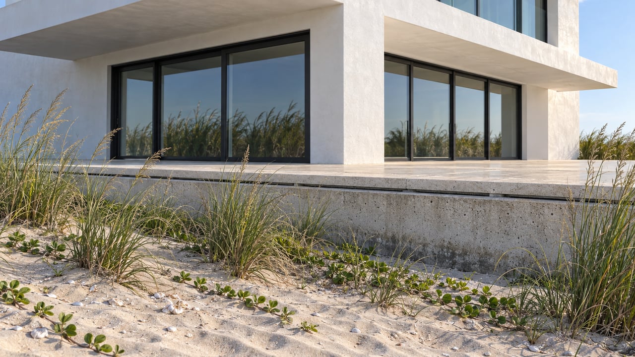
The Dune Bar Closed This Winter. The Reason Goes Back to 1971.
October 1, 2026
October 1, 2026
In February, the ocean got close enough to the Island Beach Bar & Restaurant at Jetty Park that management shut down the Dune Bar, the open-air deck that has been the informal social hub of South Beach for years. City Commissioner Michael Broderick was blunt about what was at stake, warning that the erosion had reached a point where homes, safety and property were at risk. CBS 12 reported that Assistant General Manager Jennifer Cranwell described the stretch of sand outside her restaurant as the heart of South Beach, where locals and visitors had gathered.
By March, the Dune Bar was back open. WPTV reported that Cranwell said the bar had been busy since reopening, with locals, guests and tourists returning and enjoying it. That reopening reads like a tidy resolution. It isn't one. It's the visible surface of an arrangement between Fort Pierce and the federal government that has been running since 1971, and that arrangement is currently up for renegotiation.
The closure wasn't a single storm or a bad season. It was the culmination of erosion that had been building for months, severe enough that the city treated it as an emergency. St. Lucie County responded by dumping more than 10,000 cubic yards of sand along the shoreline at a cost of nearly half a million dollars, a stopgap meant to hold the line until a larger, federally funded project could begin. Commissioner Broderick noted that the U.S. Army Corps of Engineers had failed to secure a vendor for that larger project the year before, pushing the real fix a full year behind schedule. The emergency sand dump is why the Dune Bar reopened in March. It is not why the beach stopped eroding.
According to CBS 12, staging for the actual fix, the Fort Pierce Shore Protection Project, began in mid-March. It's a $15.1 million federal renourishment effort carried out by Manson Construction, and it closed portions of Seaway Drive and several Jetty Park parking areas while crews mobilized heavy equipment. The South Jetty and its adjacent beaches were fully closed to the public from March 14 through March 23. Once underway, the project placed roughly 400,000 cubic yards of sand along a one-mile stretch of shoreline immediately south of the inlet.
Four hundred thousand cubic yards for one mile of beach is a lot of sand relative to what other stretches of Hutchinson Island need. That gap is the part of the story worth sitting with.
Studies commissioned around the project found that more than 60 percent of the erosion on this particular stretch is directly attributable to the Fort Pierce Inlet itself, not to general wave action or seasonal weather. That's the reason local officials argue the federal government carries an obligation here that doesn't apply evenly across the rest of the island. The inlet, cut for navigation, disrupts the natural drift of sand along the coast, and the beach immediately south of it pays the price in erosion that has to be replaced by mechanical means roughly every so often instead of settling into a stable long-term shape.
Compare that to what happened on the Martin County side of Hutchinson Island the same year. In late April, officials marked the completion of a beach restoration project at Bob Graham Beach that placed about 360,000 cubic yards of sand, a project timed to the 30th anniversary of the county's first renourishment effort there. Martin County's coastal projects manager noted that each successive project in that program has required less sand than the one before it, a sign the shoreline is trending toward equilibrium. The Fort Pierce Inlet stretch is not trending that way. It required an emergency intervention and a $15.1 million project in the same season that Martin County completed a project with a smaller sand requirement than its first one, three decades earlier.
Two ends of the same barrier island, two entirely different maintenance realities, and the difference comes down to one structural feature: the inlet.
The Fort Pierce protection effort dates back to 1971 and is roughly 78 percent federally funded, with the remaining 22 percent covered by the St. Lucie County Erosion District. The current federal partnership agreement runs through 2032. County leaders are already negotiating a 50-year extension of that partnership, work that is happening now, in 2026, not as a future problem to revisit later.
That negotiation matters more than the sand itself. Sand placed this spring will erode again. It always has, going back more than five decades. What determines whether Fort Pierce gets another $15 million infusion the next time the inlet does its work is whether the federal partnership gets renewed on terms the county can afford. A lapsed or diminished agreement would leave St. Lucie County covering a larger share of a bill that, on this stretch, is not optional.
A related but separate St. Lucie County effort, the South Hutchinson Island Coastal Storm Risk Management Project, ran concurrently a few miles south, closing Dollman Beach starting in January while crews dredged sand from the St. Lucie Shoals, about 3.5 miles offshore, and pumped it onto the beach through June 30. That project addressed damage from Hurricanes Ian and Nicole rather than inlet dynamics, and it's structured on an 18-year renourishment cycle with two more nourishment events anticipated over a 50-year federal participation plan. Post-construction sea turtle and shorebird monitoring on that stretch continues through November 1 of this year.
Sea turtle nesting season on Hutchinson Island runs March 1 through October 31, which means the second half of this year's nesting season is playing out on freshly placed sand along both the Fort Pierce Inlet stretch and the Dollman Beach section to the south. Anyone walking the jetty this fall is walking on sand that arrived by pipeline from federal borrow sites earlier this year, not sand that's been there for a decade.
The Dune Bar is open. The parking lot at Jetty Park no longer has dump trucks running through it. The South Jetty reopened once the March closures lifted. None of that means the underlying condition has changed. The inlet is still doing what inlets do, and the next renourishment cycle on this specific mile of beach depends on a federal agreement that expires in 2032 and is being renegotiated right now, while the beach itself looks, for the moment, like nothing ever happened.
If you're weighing what a stretch of coastline like this means for a property decision on Hutchinson Island South, that renegotiation is a more useful data point than this year's sand totals. Ann Cusa tracks these federal and county coastal projects as part of advising clients on waterfront property along the Treasure Coast. Request a Private Consultation to talk through what's actually driving the maintenance cycle on any stretch of shoreline you're considering.
Stay up to date on the latest real estate trends.


Get assistance in determining current property value, crafting a competitive offer, writing and negotiating a contract, and much more. Contact me today.